Researcher Demos Starlink’s Potential for Satellite Navigation
A team of researchers from the University of Texas Austin (UTA) have examined the downlink signal structure of Starlink’s (SpaceX) mega constellation of ultrafast broadband satellites in Low Earth Orbit (LEO) and shown that, with a few software tweaks, the company could perhaps turn it into a useful GPS-style backup.
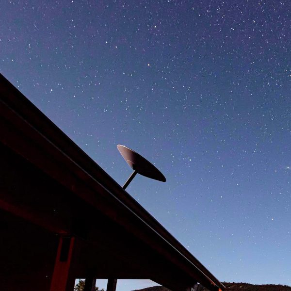
SpaceX’s Starlink constellation currently has around 3,200 LEO satellites in orbit around the Earth and their initial plan is to deploy a total of 4,425 by 2024. Customers in the UK normally pay from £75 per month and £460 for the kit (standard dish, router etc.). But for that you can expect unlimited usage, fast latency times of 20-40ms, advertised downloads of c. 50-200Mbps and uploads of c.10-20Mbps (but real-world speeds have fallen a bit).
However, it’s long been known that constellations like this could potentially also be harnessed for navigational and positioning services (like GPS), which is because they use precise timing and positioning information (telemetry) to ensure their data links can function in a smooth and stable way. But they’re not specifically designed for GPS-style uses, and thus here has tended to be a question mark over their accuracy for navigation.
Advertisement
The UTA team set out to answer the question of both possibility and accuracy in the field of global positioning, navigation, and timing (PNT) on Starlink, which was done by examining whether the network’s core telemetry data could be harnessed for accurate navigation, even without SpaceX’s blessing.
In order to do this, the team examined the “synchronization sequences” embedded in the network’s downlink (Ku-band) signals and attempted to exploit it. We should add that this part of the connection is separate from the secure data / content flow from customers, which is not being breached.
Extract from the Research Paper (PDF)
We develop a technique for blind signal identification of the Starlink downlink signal in the 10.7 to 12.7 GHz band and present a detailed picture of the signal’s structure. Importantly, the signal characterization offered herein includes the exact values of synchronization sequences embedded in the signal that can be exploited to produce pseudorange measurements. Such an understanding of the signal is essential to emerging efforts that seek to dual-purpose Starlink signals for positioning, navigation, and timing, despite their being designed solely for broadband Internet provision.
The tentative research paper, which has yet to go through peer review, showed that – even without SpaceX’s approval – it would be possible to extract enough data to develop a basic positioning service, albeit one with fairly poor accuracy (around 30 metres). This is similar to some tests of OneWeb’s rival LEO constellation via their early GEN1 satellites.
However, the team suggested that SpaceX could theoretically choose to improve this by opening up access to more of their signal telemetry data, such as by publishing the clock correction for each satellite, among other things. The claim is that this might make it possible to improve accuracy down to a handful of metres or less, which is moving into the territory of consumer GPS.
Advertisement
But we should caution that it’s unclear how this would hold-up for fast moving terrestrial objects (cars, missiles etc.), which is where having a proper GPS system tends to make all the difference. In that sense, the paper perceives Starlink as perhaps being better suited to acting more like a backup than replacement for existing satellite navigation systems.
Starlink could potentially also follow OneWeb’s tentative plans for future satellites, which it’s been suggested could be specifically adapted to deliver accurate global navigation features (GEN2 satellites). But for now, SpaceX is purely focused on broadband delivery, although we’d be surprised if Elon Musk didn’t at some point exploit the potential for the constellation to have a dual-purpose (i.e. other than messing up astronomy, perhaps).


Mark is a professional technology writer, IT consultant and computer engineer from Dorset (England), he also founded ISPreview in 1999 and enjoys analysing the latest telecoms and broadband developments. Find me on X (Twitter), Mastodon, Facebook, BlueSky, Threads.net and Linkedin.


« Examining UK Prime Minister Rishi Sunak’s Position on Telecoms


remember the people that said that the oneweb satellites were the ‘wrong kind’ ? the ones insistent that it would be impossible to add GNSS to them ? Where are they now? People who mentioned chip scale atomic clocks that can be used to get extremely close (and potentially better) to GPS were ridiculed by people on this website. And now they have been vindicated. I know they won’t admit it, nor feel bad about the pro-oneweb people they bullied here.
Cell towers can be used for triangulating too. Doesn’t mean it’s recommended in place of GPS. This is around 30m accuracy. I bet standard satellites could be used for that too, using triangulation and latency of reply. The issue with this approach is the frequency and thus the dish needed to pick up the signal. Plus accuracy. Both unproven in this form factor, but within the laws of physics.
So they are right kind for GPS then. Well done, you won!
Does this technique require a Starlink-style tracking satellite dish to receive the downlink signal? That would make it somewhat less useful (and totally useless for phones).