Vodafone UK and Ericsson Trial Drones to Aid 5G Network Rollout
Mobile operator Vodafone and supply partner Ericsson have begun a new trial that uses aerial drones and Lidar-based 3D technology to speed up network planning and site upgrades for new 4G and 5G mobile (mobile broadband) networks, such as by using them to conduct surveys of difficult to reach rural and city centre sites.
Normally the operator would need several engineers to travel to the survey site for data collection and critical assessment purposes. Radio and transmission planners, acquisition agents, structural engineers and site designers would all form part of a standard site visit.
However, by using a drone, information on structural conditions and line-of-sight measurements can be collected by a single engineer, with all the data captured then made accessible via the cloud as a digital twin model (this in turn can be used to perform a virtual site meeting and make decisions remotely).
Advertisement
The new process has already been used as part of the operator’s network deployment programme during the COVID-19 pandemic, with more than 70 sites visited in this way. In short, this saves time and money, as well as reducing environmental emissions and improving safety.
Andrea Dona, Vodafone UK’s Chief Network Officer, said:
“The introduction of new technology to improve our processes has significant benefits for our own operational efficiencies and reducing our carbon footprint, but it also allows us to deliver on our promise to customers faster.
The less time which is wasted travelling to sites, the more time can be invested in valuable tasks that improve the digital experience for our customers.”
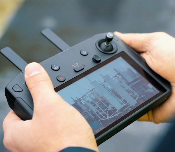
The drone being used here is a DJI Mavic Pro 2 UAV, which comes attached to a professional grade camera (i.e. semi-automatic flight modes enables camera positioning to capture data on all parts of the site).
As for the 3D scanning, they’re using the LIDAR Leica BLK36, which is a portable laser-scanning camera that can capture 360,000 laser points a second to create a high-definition 3D digital twin model of the site. It also captures panoramic Images of the whole site, enabling a virtual site visit at any time, from any location in the world.


Mark is a professional technology writer, IT consultant and computer engineer from Dorset (England), he also founded ISPreview in 1999 and enjoys analysing the latest telecoms and broadband developments. Find me on X (Twitter), Mastodon, Facebook, BlueSky, Threads.net and Linkedin.


« CityFibre UK Expand Milton Keynes FTTP Rollout by 7,000 Homes
Lane Rental Mission Creep Threatens UK Broadband Upgrades »


I’d love to own a drone one day
Same
Better hope they don’t try it in Bedford. They think they own the airspace
(I’m not kidding)
I mean , the council think they have authority over the air space (they don’t, that’s the jurisdiction of the CAA )
Goes to show just how much of a logistics nightmare building a 5g network is.
The waves don’t travel far meaning they have to saturate the area with masts.
Could well be another 10 to 20 years before they get full population coverage.
A far better option would of been midband 5g. Slightly lower speeds but no need for masts ever few yards.
This is where the 700mhz (Three, O2 and EE) and 900mhz (Vodafone) will come in to play. Extended coverage area just like the 800mhz provides long distance 4G coverage.