Warwickshire UK Fibre Broadband Project Adds Property Level Coverage Map
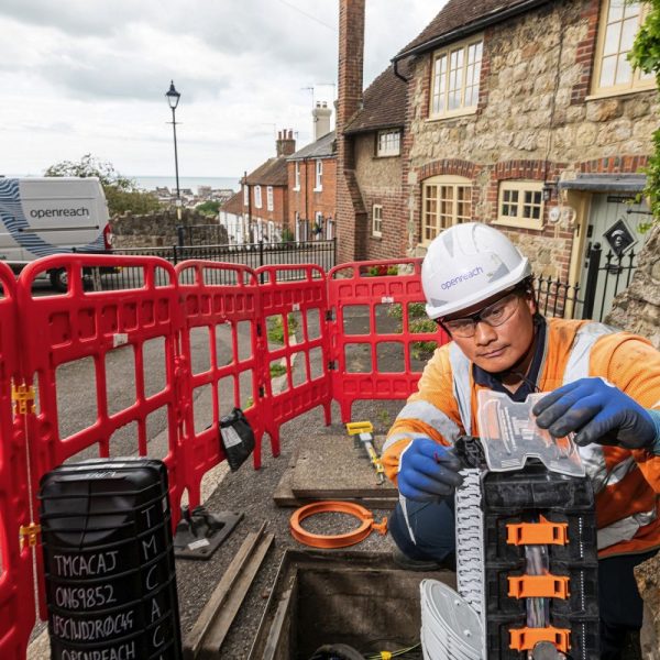
The CSW Broadband project with BT (Openreach), which aims to make “superfast broadband” (24Mbps+) available to “nearly” 94% of premises Warwickshire, Solihull and Coventry (England) by 2017, has launched a new coverage map with detail down to the level of individual properties.
Most Broadband Delivery UK projects tend to have fairly basic coverage maps, which only appear able to offer a very limited level of detail and some are almost akin to a kids colouring book. However the CSW project has decided to go much further and after a lot of effort they’ve produced a new fully zoom-able map, which can also be searched by postcode..
The new map goes right down to property level and shows not only which Waves of the project roll-out an area is in, but you can zoom right down to individual property level. At the lower level the data shows the status of each individual property (e.g. Superfast by 2019; Awaiting Funding; Basic Broadband; Under Review etc.). This helps people to see all of the information that the team holds.
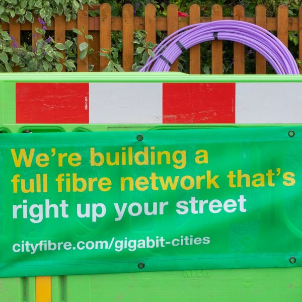
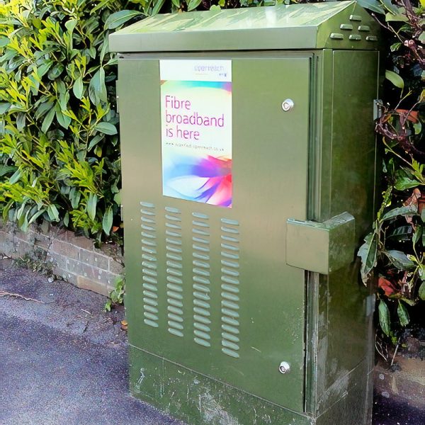
The data itself comes from the local authority’s recent 2016 Open Market Review (OMR) and Public Consultations, as well as the known coverage for Contract 2 and the State Aid approved Contract 3 potential intervention area (Note: Gainshare from Contract 1 will also add around 3,500 extra premises by the end of 2018). However the map doesn’t name individual ISPs for specific areas because that is considered commercially sensitive information, although most of the coverage will still come via Openreach and Virgin Media etc.
As maps don’t suit everybody, there is now also a unique property database. This shows the information about individual addresses within a postcode: www.cswbroadband.org.uk/addresschecker. Good work.
The New CSW Broadband Map (scroll down on this page)
http://www.cswbroadband.org.uk/your-area/broadband-checker/
Mark is a professional technology writer, IT consultant and computer engineer from Dorset (England), he also founded ISPreview in 1999 and enjoys analysing the latest telecoms and broadband developments. Find me on X (Twitter), Mastodon, Facebook and Linkedin.


Latest UK ISP News


- FTTP (5571)
- BT (3526)
- Politics (2549)
- Openreach (2308)
- Business (2279)
- Building Digital UK (2250)
- FTTC (2049)
- Mobile Broadband (1986)
- Statistics (1796)
- 4G (1675)
- Virgin Media (1634)
- Ofcom Regulation (1472)
- Fibre Optic (1405)
- Wireless Internet (1399)
- FTTH (1382)


Comments are closed